
All The Bronx ZIP Codes
The NYC HRA Bronx flyer lists 25 ZIP codes serving the borough. The area descriptions below are working postal and community associations, not legal neighborhood borders. The station names are useful orientation points, but one post office should not be assumed to control every delivery address in a ZIP. Confirm the delivery assignment for a particular address through USPS AIS.
| ZIP | Areas covered | Post office | Notes |
|---|---|---|---|
| 10451 | Concourse, Mott Haven edge, Melrose and central-south | Bronx GPO, 558 Grand Concourse | Verify delivery assignment in AIS. |
| 10452 | Highbridge, Morris Heights, west-central Bronx | Highbridge, 1315 Inwood Avenue | Nearby annex and alternate stations exist. |
| 10453 | Morris Heights, University Heights, west-central Bronx | Morris Heights, 2024 Jerome Avenue | Use the complete address for delivery verification. |
| 10454 | Port Morris, Mott Haven waterfront | Mott Haven, 517 E 139th Street | Waterfront and industrial context can affect record research. |
| 10455 | Hunts Point, Mott Haven south, Longwood edge | Hub, 633 Saint Anns Avenue | Area association crosses neighborhood labels. |
| 10456 | Claremont, Morrisania, Crotona Park East | Morrisania, 442 E 167th Street | ZIP is not a community-district boundary. |
| 10457 | East Tremont, Bathgate, Claremont edge | Tremont, 575 E Tremont Avenue | Use a street address for an exact result. |
| 10458 | Belmont, Fordham, Bedford Park edge | Fordham, 465 E 188th Street | Mount Carmel and Botanical locations are nearby. |
| 10459 | Longwood, Hunts Point, and south-central communities | Boulevard, 1132 Southern Boulevard | Area associations are not parcel boundaries. |
| 10460 | West Farms, Crotona Park East, Bronx Park South | West Farms, 362 Devoe Avenue | Check map and address together. |
| 10461 | Pelham Bay, Morris Park edge, Westchester Square and Throggs Neck edges | Westchester, 2619 Ponton Avenue | Morris Park and Pilgrim locations are nearby. |
| 10462 | Parkchester, Pelham Parkway, Westchester Square vicinity | Parkchester, 1449 West Avenue | Postal and neighborhood labels differ. |
| 10463 | Riverdale, Kingsbridge, Spuyten Duyvil | Kingsbridge, 5517 Broadway | Reaches across municipal labels near Marble Hill. |
The south and central ZIPs include dense numbered streets, waterfront areas, and large apartment districts. A ZIP can overlap more than one community district, so a map result and a ZIP result can both be correct while answering different questions.
| ZIP | Areas covered | Post office | Notes |
|---|---|---|---|
| 10464 | City Island and nearby islands | City Island, 199 City Island Avenue | Island postal context differs from mainland blocks. |
| 10465 | Throggs Neck, Country Club, Locust Point, Edgewater Park | Throggs Neck, 3630 E Tremont Avenue | Coastal communities use distinct local labels. |
| 10466 | Wakefield, Edenwald, Baychester, Williamsbridge edge | Wakefield, 4165 White Plains Road | Confirm the exact delivery point. |
| 10467 | Norwood, Williamsbridge, Pelham Parkway, Bronx Park North | Williamsbridge, 711 E Gun Hill Road | Allerton, Van Cott, and Mosholu locations are nearby. |
| 10468 | Fordham, University Heights, Kingsbridge Heights | Jerome Station, 2549 Jerome Avenue | Use an address rather than a neighborhood name alone. |
| 10469 | Allerton, Pelham Gardens, Eastchester, Indian Village | Esplanade, 2488 Williamsbridge Road | Baychester-area locations are nearby. |
| 10470 | Woodlawn, Wakefield edge | Woodlawn, 4364 Katonah Avenue | Boundary area needs address-level confirmation. |
| 10471 | Riverdale, Fieldston, northwestern Bronx | Riverdale, 5951 Riverdale Avenue | Northwest geography is distinct from central blocks. |
| 10472 | Soundview, Castle Hill, Parkchester edge | Soundview, 1687 Gleason Avenue | Community labels overlap the ZIP. |
| 10473 | Soundview, Clason Point, Hunts Point waterfront edge | Cornell, 1950 Lafayette Avenue | Clason Point locations are nearby. |
| 10474 | Hunts Point, Port Morris industrial and waterfront | Hunts Point, 800 Manida Street | Business and parcel trails may be prominent. |
| 10475 | Co-op City, Baychester, Eastchester | Co-op City, 3300 Conner Street | Large-development and parcel context matters. |
Northwest ZIPs such as 10463 and 10471, the coastal and island ZIPs 10464 and 10465, and 10475 around Co-op City each have a different geography from a central Bronx street grid. The NYC Department of Health Bronx map gives the broad pattern, while AIS resolves an individual delivery address.
The Bronx ZIP Geography Is Delivery
A ZIP is postal delivery geography. It is not a borough border, neighborhood line, parcel identifier, or city agency district. A named neighborhood can span several ZIPs, and one ZIP can cover more than one community district. GOAT returns civic and geographic districts, while a BBL controls property records. That is why a ZIP code directory is useful for routing an address, but not for deciding which parcel, community board, or historical jurisdiction owns a record.
The Bronx has no verified unincorporated pocket outside New York City, yet postal and neighborhood labels still diverge. City Island, coastal Throggs Neck areas, Co-op City, northwest Riverdale and Kingsbridge, and industrial waterfront areas all show why a ZIP label needs a map and a full address beside it. Postal geography can change administratively without meaning the physical location moved.
USPS ZIP Code basics distinguishes standard, PO Box, and unique ZIP codes.
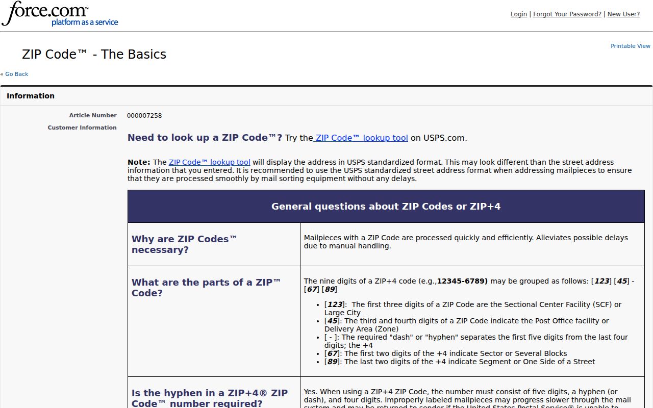
The USPS explanation is a reminder that the ZIP label describes delivery handling. It does not convert a neighborhood association into a postal boundary.
Verify a Bronx ZIP in AIS
Use the USPS Address Information System, or AIS, when a specific address must be checked. Enter the complete address and compare the returned five-digit ZIP, ZIP+4, carrier route, county, and delivery point with the record in hand. This check is especially important near a neighborhood edge, after an address format change, or when a post-office name seems to disagree with a local place name. AIS verifies a delivery address, not a person’s identity or residence.
USPS AIS Viewer is the address-quality source for that verification.
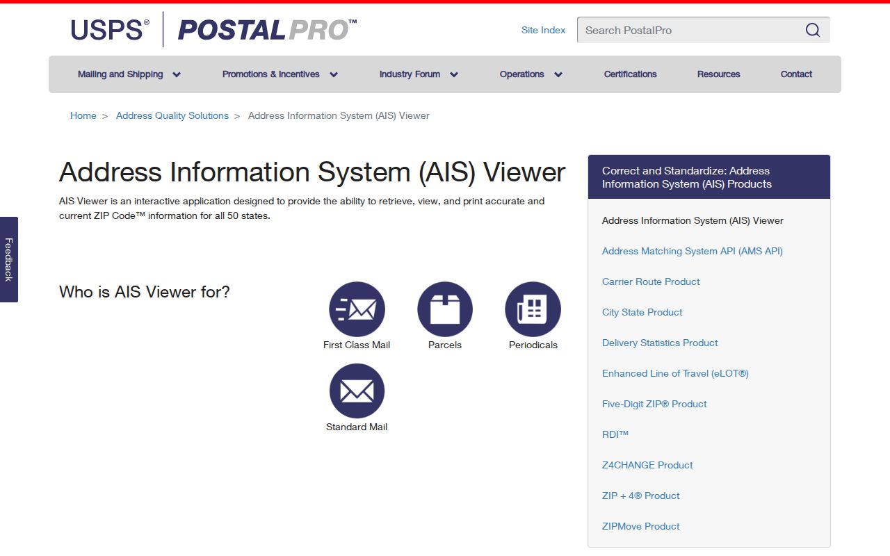
After AIS confirms the delivery geography, use the address in GOAT or PIP if the remaining question concerns a street segment or a parcel.
The Bronx ZIP Code Search Fields
Different public portals use ZIP in different ways. The voter tools use it as one required part of an individual status query. The Department of State licensee search can filter a licensee query by ZIP. PIP does not offer a direct ZIP field, while GOAT and ZoLa display ZIP as address or map output. None of these tools offers a reliable all-person ZIP query.
| Portal | ZIP field | What the ZIP route returns | Best use |
|---|---|---|---|
| NYS voter lookup | Required | One status query with county, name, date of birth, and ZIP | Check a known voter record. |
| NYC voter lookup | Required | One status query with borough, name, date of birth, and ZIP | Check exact NYC registration details. |
| NY Department of State licensee search | Available | Licensee names filtered by type, county, city, and ZIP | Search a professional license record. |
| PIP | No direct field | Address or BBL property result | Use ZIP to confirm an address, then find the BBL. |
| GOAT and ZoLa | Output, not a bulk filter | Street, parcel, or map geography that includes ZIP | Normalize a location and map context. |
| ACRIS | No primary ZIP route | BBL, address, party, or document results | Inspect recorded-property documents. |
The NYS voter lookup requires county, last name, first name, date of birth, and ZIP. The NYC voter lookup similarly requires name, birth date, borough, and ZIP. The Department of State licensee search accepts name, type, county, city, and ZIP filters. Use the field choices for the record type at hand instead of expecting the same result from every portal.
Search The Bronx by ZIP
A ZIP can narrow an address before the property or record search begins. It is not a replacement for a street number, legal name, date of birth, or BBL. The following workflow stays within the fields the official tools actually support.
- Verify the full mailing address in USPS AIS and save the returned ZIP and ZIP+4 only as address-quality information.
- For a property question, enter the address in PIP and capture the BBL rather than trying to search PIP by ZIP alone.
- Use GOAT or ZoLa to check the street segment, geographic district, address range, and ZIP output.
- For a known voter’s status, use the required name, date of birth, county or borough, and ZIP in the relevant voter lookup.
- For a license record, use the Department of State’s ZIP filter alongside type and location fields, then read the returned record carefully.
Once a ZIP is narrowed to an address, the The Bronx street directory route handles the street-side, BBL, deed, permit, and historic-address work. That is a different task from postal verification.
The Bronx ZIP to BBL Bridge
Property research switches keys at the address. USPS confirms the delivery form. PIP resolves an accepted address to a BBL. ACRIS then uses BBL, address, party, date, and document paths for recorded instruments. The BBL is the parcel key across PIP, Department of Finance material, and ACRIS, while the BIN identifies a building. Condominiums, co-ops, air lots, and subterranean lots can require specialized identifiers and more than one BBL relationship.
A property result can show a situs address and a separate mailing address. The situs is the physical location used by the map or building record. A mailing address is for tax or notice correspondence. Neither field alone establishes who occupies each unit. Use the legal description and tax-map history when a BBL changes or an address contains an unusual lot relationship.
Note: A ZIP helps select the correct address, but the BBL is the durable key for a Bronx parcel record.
The Bronx ZIP Code Boundary Mismatch
The important local mismatch is not a city-limit dispute. It is the difference among ZIP, community district, neighborhood, parcel, and borough. ZIP 10463 is a northwest delivery label with a boundary quirk near Marble Hill. Community Board areas and their neighborhood lists can overlap several ZIPs. Coastal ZIPs 10464, 10465, and 10475 also have island, shoreline, or large-development context that does not behave like a central grid address.
Address mismatch. If the postal ZIP, neighborhood label, and map district differ, verify the delivery address in AIS and the parcel in GOAT or PIP before drawing a records conclusion.
No verified Bronx ZIP split or realignment year was located in the reviewed HRA and map sources. Do not assign a change date without a USPS historical source. A delivery-area boundary is an administrative postal fact, not evidence that an address changed jurisdictions.
The Bronx ZIP Terms
Postal terms are easy to mix up with map and property terms. These short definitions keep the ZIP reference separate from the BBL and street records used elsewhere.
- ZIP Code
- A five-digit USPS delivery-area code used to sort mail and verify an address.
- ZIP+4
- An added four digits that narrow mail delivery beyond the five-digit ZIP.
- PO Box ZIP
- A ZIP used for post-office-box service rather than a broad street-delivery area.
- Unique ZIP
- A ZIP assigned to a high-volume company, government agency, or other entity.
- Carrier route
- A USPS delivery sequence within an area, useful for mail handling but not a parcel boundary.
The Bronx ZIP Search Limits
A ZIP does not produce an official roster of everyone in that delivery area. The voter lookups require a known individual’s identifying fields and return status information, not a browseable list. Public registration records have restrictions under New York Election Law, confidential registration can protect qualifying voters, and ballot choices are not public. A parcel address, meanwhile, can lead to property or recorded-document evidence, not a complete account of every household member.
Use postal and public records for lawful personal research, family history, property context, and civic questions. Do not use them to stalk, harass, intimidate, or harm anyone. When a request is necessary, New York’s Freedom of Information Law is in Public Officers Law Article 6, §§84-90, and the appropriate agency can explain its available records and limits.